-
Mobile Version
Scan with Mobile
- Member Center

Product Introduction
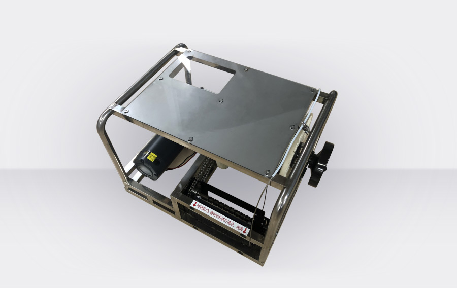
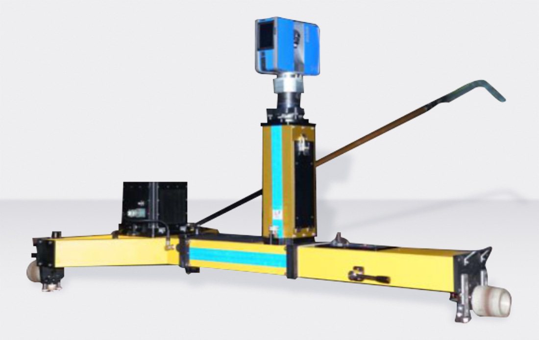
AIS800S: Designed for subway and high-speed railway tunnels, this system effectively combines a 3D laser scanning system with the A-INS track measurement system to expand the measurement information in multiple dimensions. While the track measurement system completes precise track measurements, it provides coordinate and orientation information to the 3D laser scanning system. The information obtained by the 3D laser system about the tunnel will have precise coordinate data, offering more complete and accurate information for the measurement and BIM management of subway and high-speed railway tunnels.
Specifications
Scanner Specifications
Measurement Range | Maximum Measurement Speed | Distance Measurement Error | Angular Accuracy | 3D Position Accuracy |
0.6~70m | 1 million points/second | ±1mm | Vertical/Horizontal angle of 19 arcseconds | 2mm@10m |
Track Measurement Parameters
Working Range | |
Temperature Range | -25℃~+50℃ |
Humidity Range | 90%,non-condensing |
Applicable Gauge*Note 1 | 1400~1480 |
Superelevation*Note 2 | ±200mm |
Resolution | |
Gauge, Superelevation | ≤0.01mm |
Track Alignment, Levelness | ≤0.01mm |
Position Accuracy | ≤0.0001m |
Relative Position Accuracy | ≤0.01mm |
Measurement Precision | |
Gauge Error | ≤0.2mm |
Superelevation Error | ≤0.2mm |
Mileage Error | ≤2cm |
Gauge Zero Point Variation | ≤0.05mm |
Superelevation Zero Point Variation | ≤0.05mm |
Other Parameters | |
Measurement Efficiency | Hand-pushed: 3-5 km/hour |
Battery Life |
|
Total Weight | <42kg |


Long Press to Scan QR Code
Scan QR Code